3D Chirp

Decimetre-resolution sub-bottom profiler

True 3D Seismic Imaging

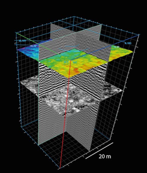
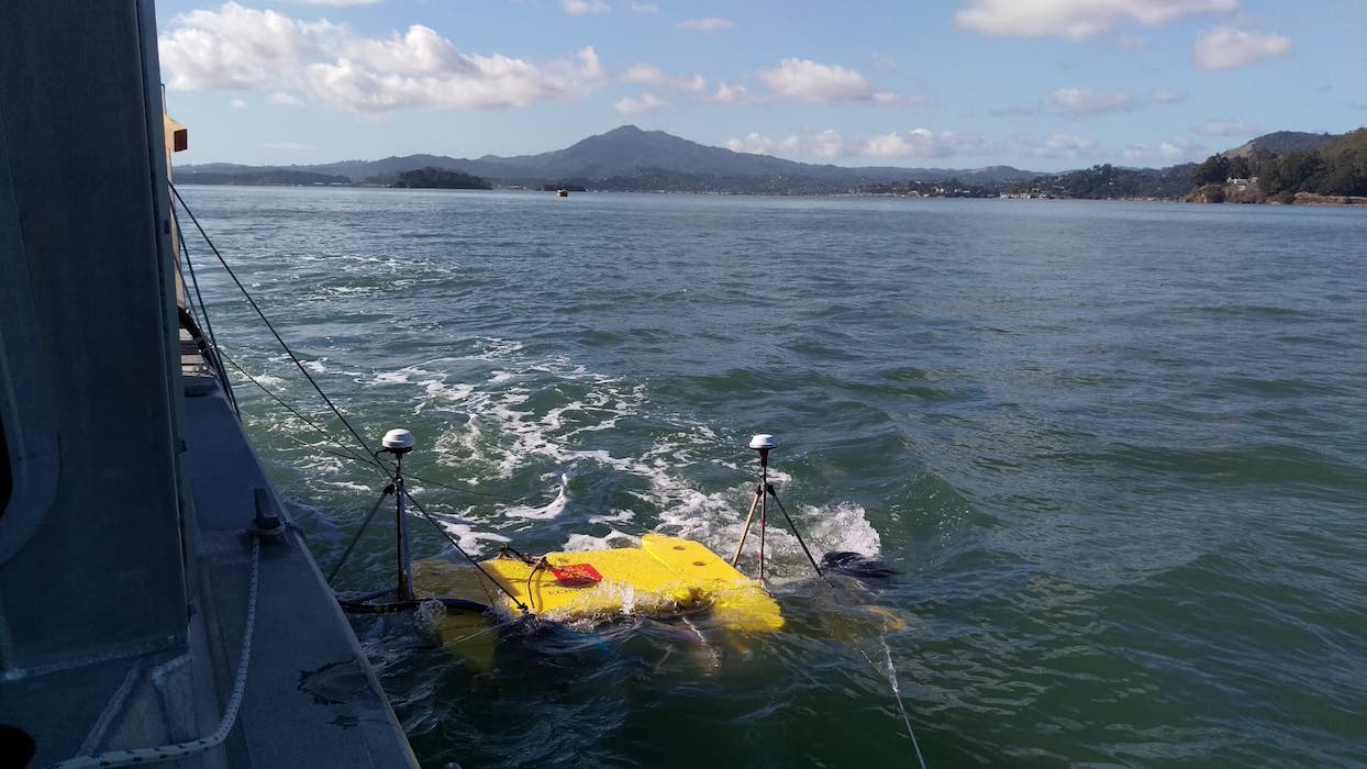
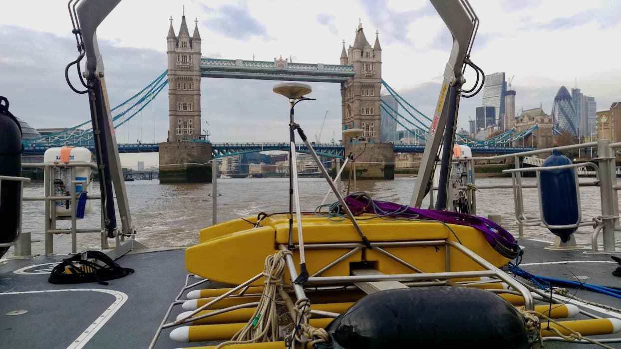
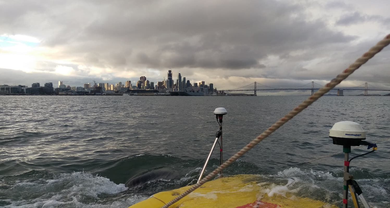
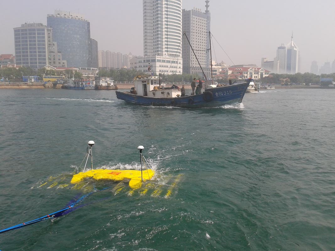
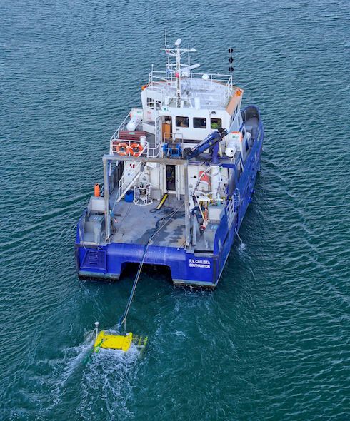
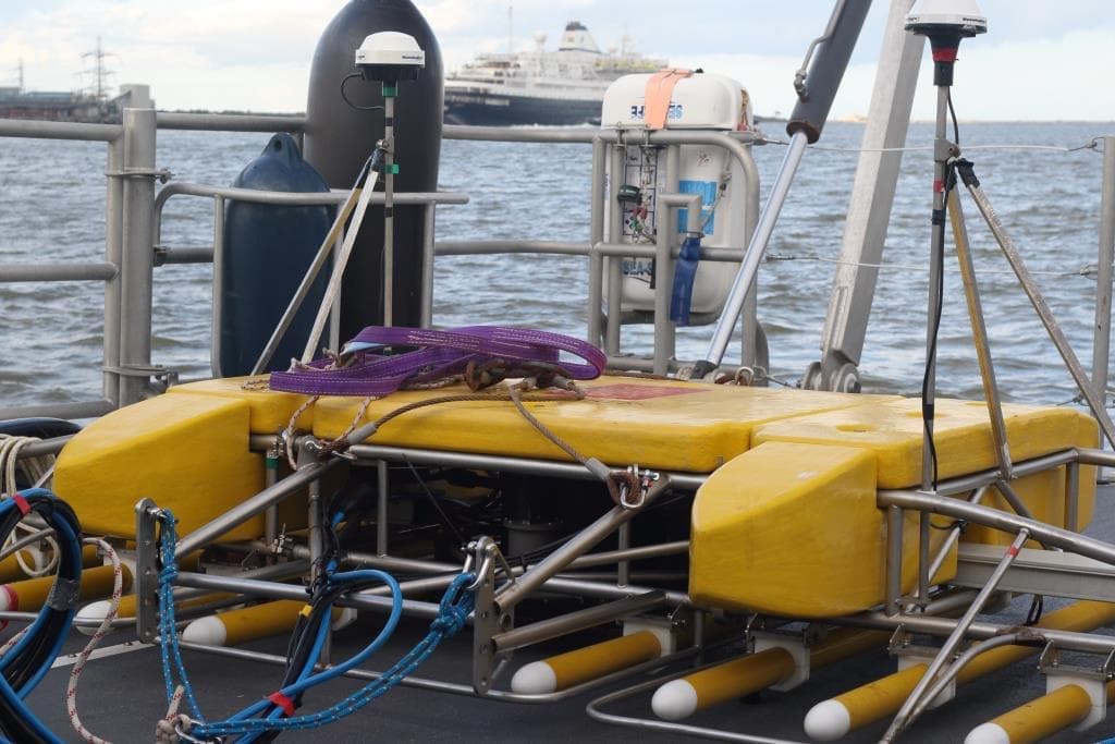
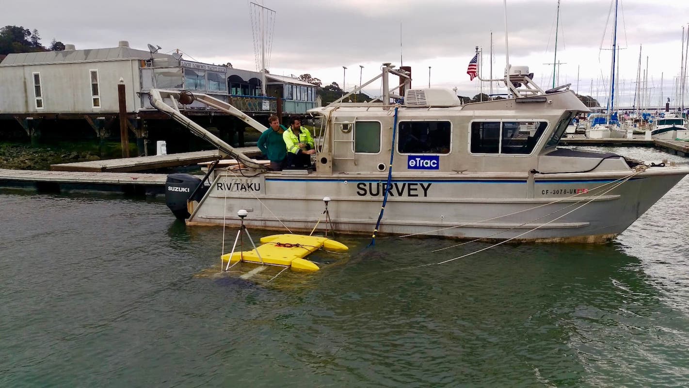
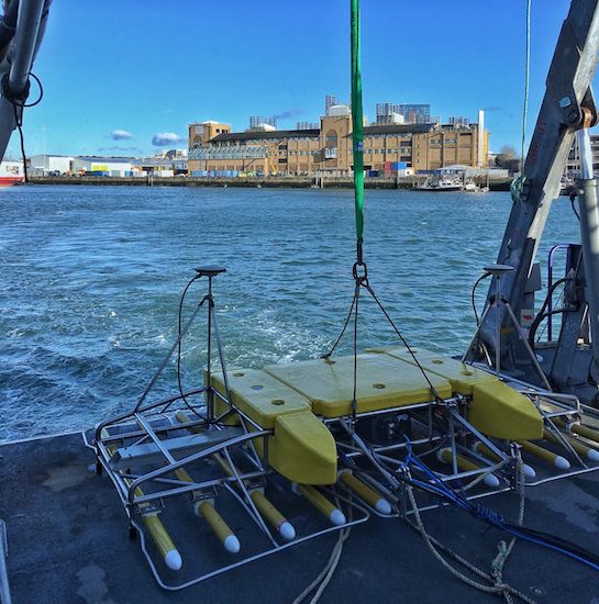
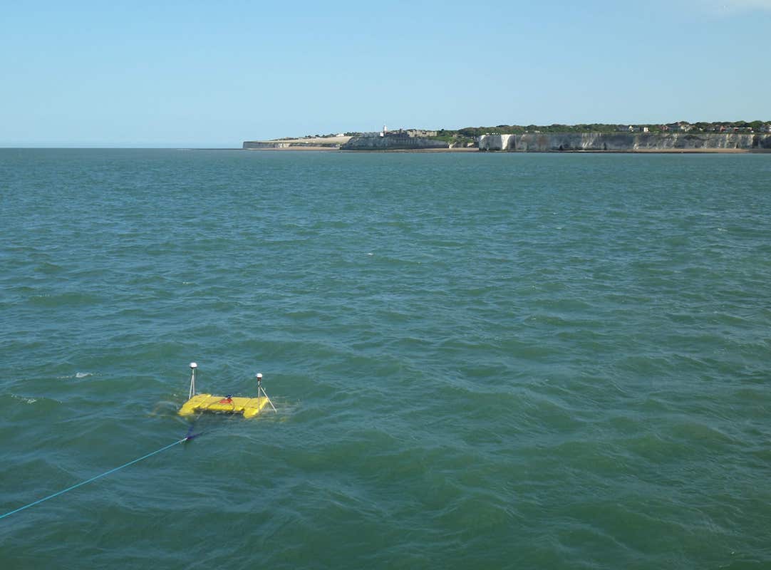
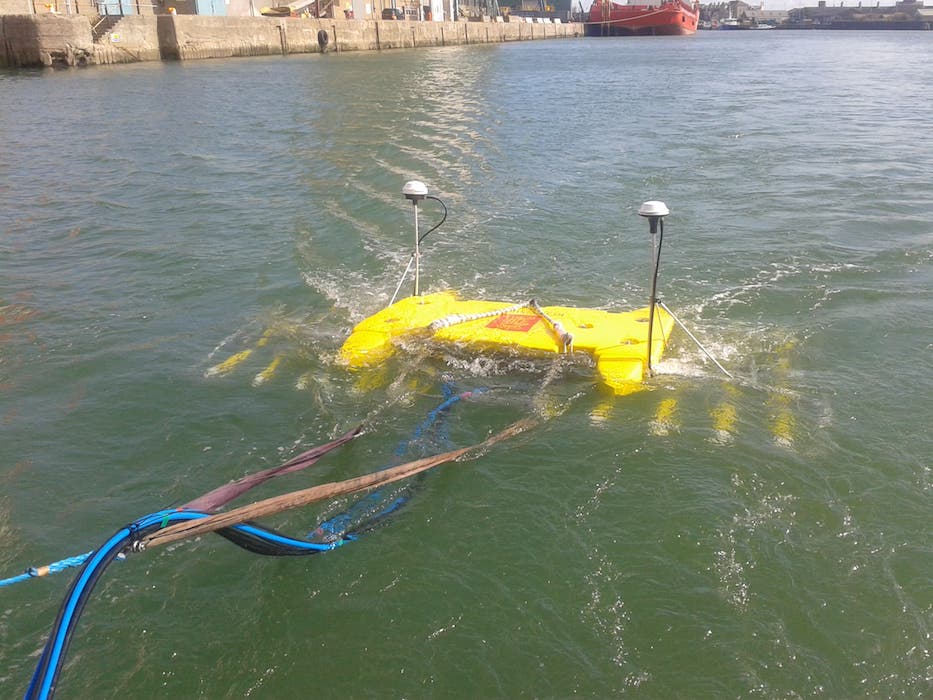
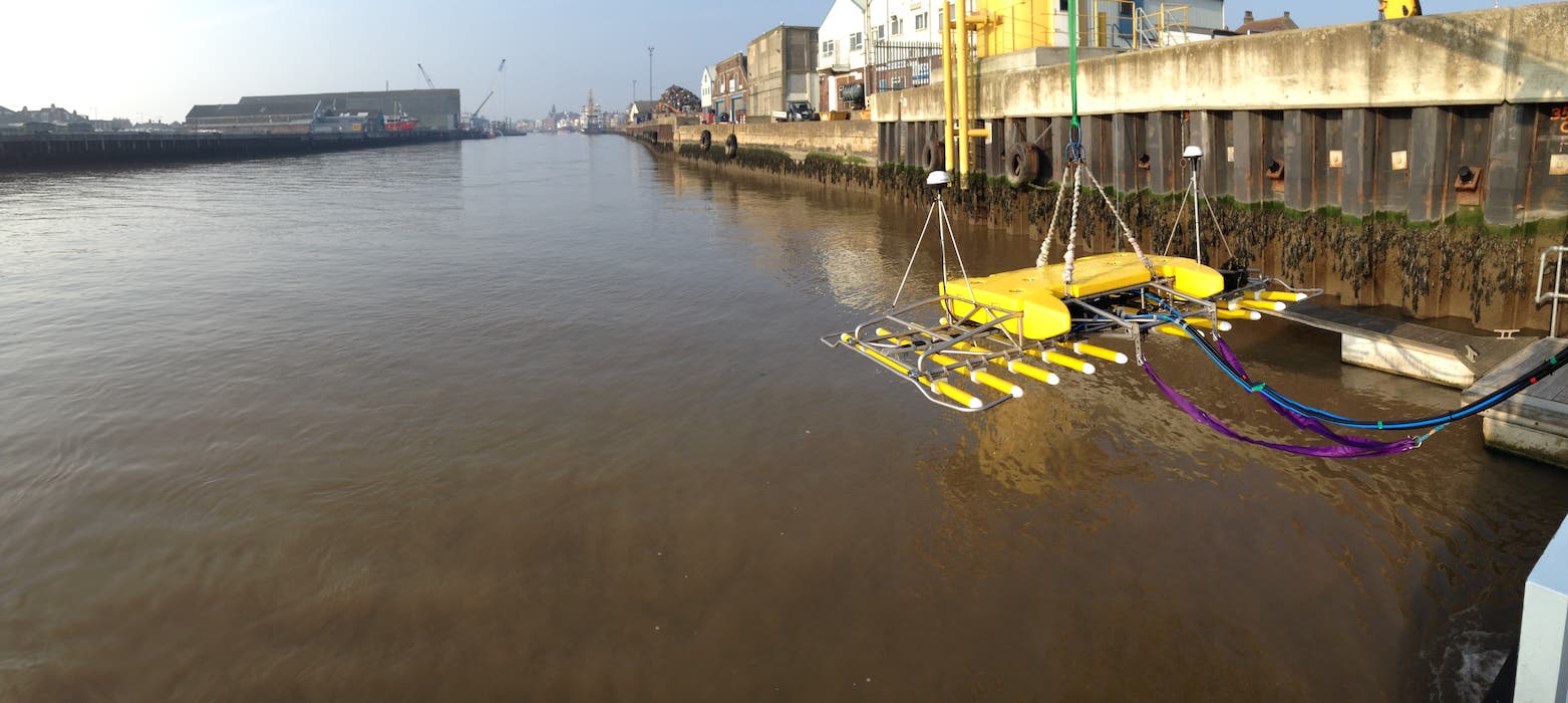
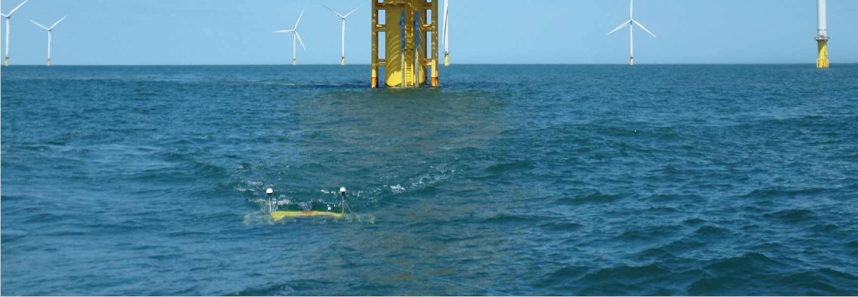
3D Chirp is a surface-towed sub-bottom profiler capable of recording seismic data with decimetric horizontal and centimetric vertical resolution.
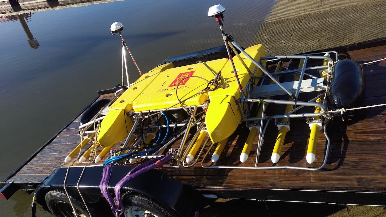
Read more: Specification

Jointly developed by the University of Southampton and Kongsberg GeoAcoustics, the 3D Chirp is a second-generation technology combining high-precision navigation and data acquisition with a tailored Chirp source waveform. Initial funding was provided by GeoAcoustics Ltd, the Engineering and Physical Sciences Research Council (EPSRC), and English Heritage in collaboration with the Engineering Design and Manufacture Centre at the University of Southampton.
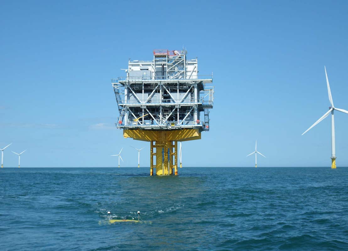
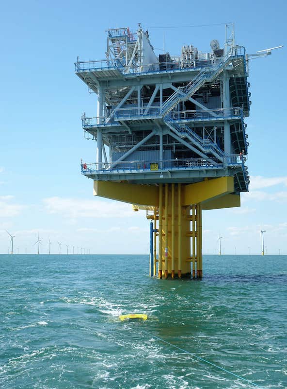
Read more: Background

With bespoke workflows and in-house processing software, the 3D Chirp affords true 3D imaging at very high resolution, a perfect base for many shallow-water engineering, archaeology, military, structural geological and geohazard projects.

Read more: Applications

Driven by both academic and commercial partners the 3D Chirp system continues to evolve for new applications with bespoke processing and cutting-edge, high-performance navigation.

Read more: Publications
burbo3D

Related News and Publications

02/18
3D Chirp Development Trials
09/17
3D Chirp at OSIG/SUT
02/17
Thames Commercial Projects
09/16
3D Chirp at EAGE
02/16
Offshore Pre-Installation Surveys
09/13
3D Chirp at SEG Meeting
05/13
3D Chirp at OTC
05/12
3D Chirp at OSIG
3D Chirp development trials underway at Southampton, testing cutting-edge navigation systems that are independent of RTK-GPS base stations. Keynote talk at OSIG 2017 conference, presenting results on substrate controls for marine HV cables, including high-resolution 3D Chirp data. 3D Chirp surveying on the River Thames, part of ongoing commercial sub-bottom profiling projects. 3D Chirp data presented at the EAGE Applied Shallow Marine Geophysics conference, showcasing coupled high-accuracy positioning and high-resolution data for imaging buried targets. 3D Chirp sub-bottom profiling currently underway on the UK shelf, including buried structures, UXO targets and pre- and post-installation infrastructure sites. The uses of 3D Chirp for tackling coastal geophysical problems will be presented in a post-conference workshop at the 2013 SEG Annual Meeting, 29th September, Houston. The results of a multidisciplinary study, including 3D Chirp data, over the 1996 landslide in Finneidfjord will be presented at the OTC meeting, 5th - 9th May in Houston. The results of a multidisciplinary study, including 3D Chirp data, over the 1996 landslide in Finneidfjord will be presented at the OSIG meeting, 12th - 14th September at Burlington House.